
← All family guides

Reviewed October 7, 2026 · U.S. fall edition

The family fall field guide

Small hikes.
Big fall magic.

Gold aspens. Scarlet maples. Waterfalls wrapped in color. Fifteen beautiful places to meet autumn—with a plan that works for the whole family.

15 places · short routes · honest family details

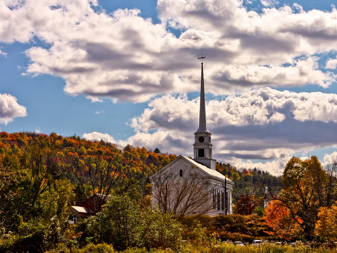
Stowe Community Church framed by Vermont fall color

Stowe Community Church framed by Vermont fall color

Patrick from Barrington, RI, Moretown, VT, United States (opens in a new tab) · CC BY 2.0 (opens in a new tab) · Resized; display crop

Start with your family’s kind of day

The right view. The right amount of effort.

Follow autumn south—and downhill

When should you go?

Peak is a moving window. Elevation, rain, drought and wind can shift it. Choose a place that makes a good family day even if the leaves are a week early or late.

September

Colorado aspens; the first color in Vermont and West Virginia’s highlands.

October

New England, the Great Lakes, Skyline Drive and the Blue Ridge. Lower elevations follow later.

November

Texas maples, late Smokies color and some low-elevation DMV foliage.

Your 2026 peak-color outlook

These are Weekend Wild’s projected peak windows for 2026, assessed October 7. They combine dated park and regional reports with usual seasonal timing. The ranges are our planning estimates unless a source forecast is explicitly identified; they are not guaranteed peak dates or a live tracker.

Compare projected peak windows for all 15 places
How we estimate peak color

Moderate confidence means a recent park or regional report supports the window. Low confidence means the evidence is early, nearby, historical or seasonal, so the dates may move substantially. These are editorial confidence labels, not statistical probabilities. Elevation and tree species can change the timing within the same park.

The National Weather Service explains that temperature and rainfall affect timing, drought can mute color, and strong winds can quickly strip leaves. We use that guidance to explain uncertainty; NWS has not issued these destination date estimates.

National Weather Service: weather and fall color ↗

Recheck the linked local report 7–10 days before travel, then again 24–48 hours before leaving. If wind or heavy rain is forecast, consider an earlier calm day within the window. For trips booked far ahead, choose flexible reservations and an outing the kids will enjoy even without peak leaves.

The beautiful places, with the useful details

Best places to see fall foliage with kids

A curated U.S. shortlist, including three DMV outings. Color windows are planning estimates, not guaranteed peak dates. Use “easier access” for the specifically named paved, accessible or boardwalk option; weather can still change its usability.

15 of 15 places · visit times are suggested family allowances

Stowe Community Church framed by Vermont fall color

Patrick from Barrington, RI, Moretown, VT, United StatesCC BY 2.0Resized; display crop

Vermont · New England

Stowe

A paved path through postcard Vermont.

2026 projected peak · Weekend Wild estimate

Oct 1–10

Moderate confidence · 2026 regional report

Vermont’s Sept 30 forester report placed the northern Green Mountains close to peak. Our window applies to the Stowe area; individual stretches of the Recreation Path can differ.

Assessed October 7, 2026. Usual season: Late September–early October. Historical local window; elevations and individual trees vary.

Your family route

Rec Path: choose your own turnaround

The full path is 5.3 miles one way. Start near the village, walk 15–30 minutes, then turn back; do not mistake the full route for a short loop.

Access
Paved; stroller-friendly
Allow
1–2 hours
Budget check
Free path access

The parent planning detail

Use the village access at Lintilhac Park behind Stowe Community Church. Pick a weekday morning when possible; fall weekends fill quickly.

Bathrooms, snacks & a doable day

Bathrooms & food

Use town facilities before setting out; carry your picnic and water.

Give them a mission

Give each child a color to find; stop at your first great view instead of pursuing the entire path.

If the day changes

Make a short village walk your fallback when the path feels too long. In steady rain, take a warm indoor lunch and shorten the outing.

Make it a trip

Book a Stowe base for two nights if traveling far; one path outing and one scenic drive are enough anchors.
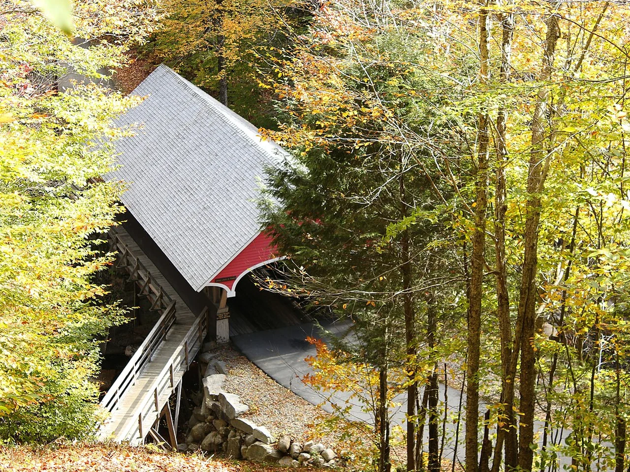
Covered bridge and early autumn trees at Flume Gorge

Robert Linsdell from St. Andrews, CanadaCC BY 2.0Resized; display crop

New Hampshire · New England

Flume Gorge

Covered bridges, granite walls and a waterfall.

2026 projected peak · Weekend Wild estimate

Oct 5–15

Moderate confidence · 2026 regional report

New Hampshire’s Oct 6 report described near-peak color in the western White Mountains and highlighted Flume Gorge. Favor the earlier part of this window, especially before windy weather.

Assessed October 7, 2026. Usual season: Early–mid October. Regional White Mountains estimate; check the state foliage tracker.

Your family route

Flume Gorge: 2-mile loop

Commit to the complete uphill loop and many stairs. This is the adventurous choice for confident walkers, with a carrier for babies.

Access
Many stairs; no stroller
Allow
2–3 hours
Budget check
Advance tickets: $18 ages 13+; $16 ages 6–12; under 6 free

The parent planning detail

Reserve a dated arrival online. The advertised 2026 season ends October 25, weather permitting; check before booking.

Bathrooms, snacks & a doable day

Bathrooms & food

Start with bathrooms at the visitor building; bring water and a snack for after the loop.

Give them a mission

Let children be bridge spotters. Keep hands free on wet steps and boardwalks.

If the day changes

Skip the gorge in unsafe weather. Choose a short scenic stop elsewhere in Franconia Notch only when conditions allow.

Make it a trip

Stay around Lincoln or Franconia for a two-night White Mountains weekend; keep the gorge as the main walk that day.

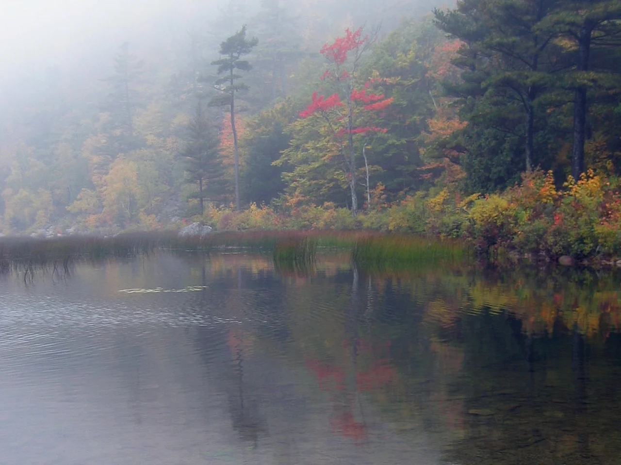
Autumn mist and colorful trees at the Tarn, Acadia

NPS; crop by Maps and stuffPublic domainResized; display crop

Maine · New England

Acadia National Park

Golden forest with an ocean-town base.

2026 projected peak · Weekend Wild estimate

Oct 10–20

Moderate confidence · 2026 regional report

Maine’s Oct 7 report rated the Downeast zone, including Bar Harbor, at high color with moderate leaf drop. Our window centers on mid-October; exposed coastal trees may lose leaves sooner.

Assessed October 7, 2026. Usual season: Early–mid October. Typical park window, often around mid-month; coastal and inland color differ.

Your family route

Jesup Path + Hemlock Path: 1.5-mile loop

The official loop is mostly flat, including a wooden boardwalk. For an easier outing, turn back on Jesup Path; the full loop includes road crossings.

Access
Narrow boardwalk; shorter stroller outing
Allow
1–2 hours
Budget check
$35 per vehicle for 7 days. Non-U.S. residents age 16+ also pay $100 each unless covered by an eligible pass.

The parent planning detail

Start at Sieur de Monts. The boardwalk is about 3 feet wide; be ready to give way to other visitors. Check seasonal facility hours.

Bathrooms, snacks & a doable day

Bathrooms & food

Restrooms at Sieur de Monts; pack food and water rather than counting on trail concessions.

Give them a mission

Ask children to find birch bark and listen for birds. Keep early walkers close on the boardwalk.

If the day changes

Do the short boardwalk out and back if energy drops. In heavy rain, switch to an indoor stop in Bar Harbor after checking hours.

Make it a trip

Use Bar Harbor for a three-night trip; pair the forest outing with one coastal stop, rather than a full park loop in one day.

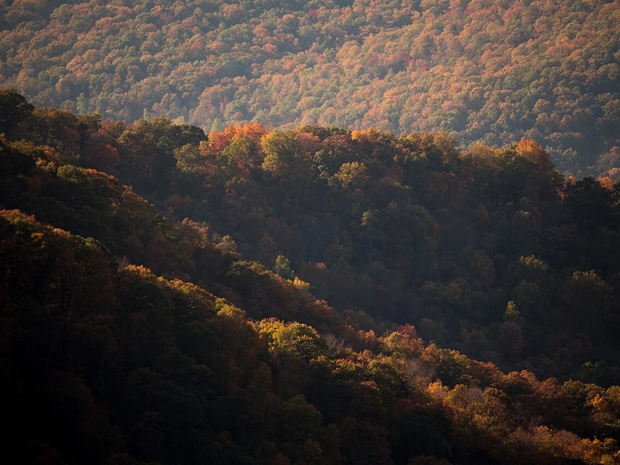
Sunlit autumn forest in Shenandoah National Park

NPS / Katy CainPublic domainResized; display crop

Virginia · DMV

Shenandoah National Park

Skyline views plus a gentle forest loop.

2026 projected peak · Weekend Wild estimate

Oct 10–25

Low confidence · 2026 regional report + usual season

Virginia’s Oct 1 report still described mostly green mountains. We are keeping a broad mid-October target for the Limberlost area. NPS cautions that the park’s many elevations cannot share one peak date.

Assessed October 7, 2026. Usual season: Mid October. Historical mid-October target, not a fixed peak; check park photos by district and elevation.

Your family route

Limberlost: 1.3-mile loop

A crushed-stone accessible loop with about 130 feet of elevation gain. Stop at a Skyline Drive overlook as well; the biggest views are outside the forest.

Access
Accessible crushed stone
Allow
2–4 hours with overlooks
Budget check
$30 per vehicle for 7 days; cashless entrance

The parent planning detail

Limberlost is at Skyline Drive mile 43. Arrive early or on a weekday; allow extra time for entrance lines and slow traffic. Pets are not allowed on this trail.

Bathrooms, snacks & a doable day

Bathrooms & food

Bring lunch and water. Plan a restroom stop at an open developed area before the trail; do not assume every overlook has facilities.

Give them a mission

Find three leaf shapes, then pick one overlook for a picnic-sized break. Leave wildlife plenty of space.

If the day changes

Shorten to one safe overlook if children tire. Fog can erase the view; postpone the scenic drive if visibility is poor.

Make it a trip

A full day from the DMV or a two-night mountain stay. Start with your trail segment, then decide whether to add more overlooks.

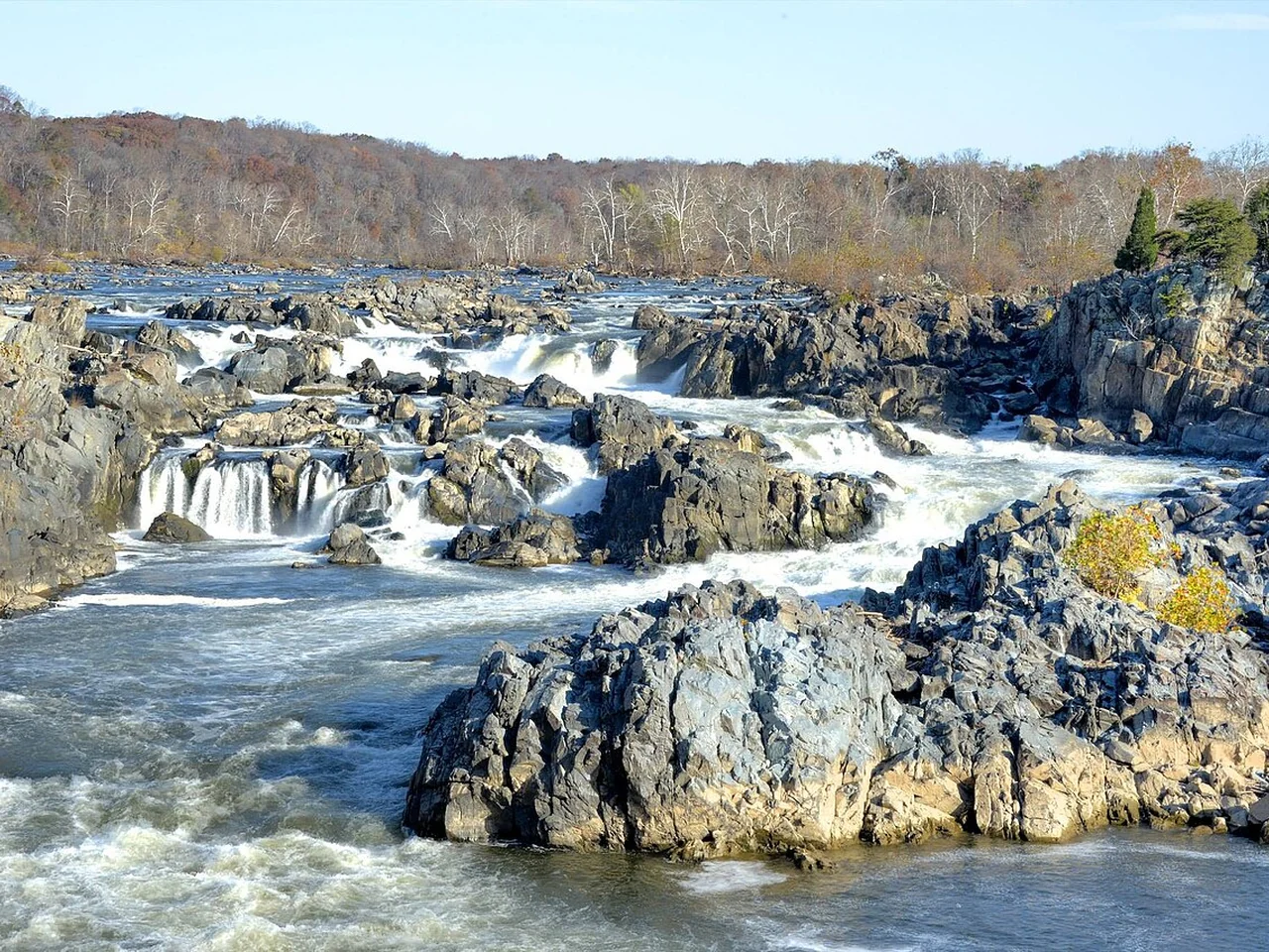
Late-autumn view of the Great Falls of the Potomac

BestbudbrianCC BY-SA 4.0Resized; display crop

Maryland & Virginia · DMV

Great Falls

A huge waterfall payoff with very little walking.

2026 projected peak · Weekend Wild estimate

Oct 25–Nov 5

Low confidence · Regional context + usual season

A tentative window for the low-elevation Potomac overlooks, rather than a park-issued forecast. Maryland DNR’s early-season report describes uneven change and weather-related leaf loss; check both sides of the river before choosing a day.

Assessed October 7, 2026. Usual season: Late October–early November. Regional low-elevation estimate; check current local color and park conditions.

Your family route

Virginia overlooks or Maryland’s Olmsted Island

Virginia overlooks 2 and 3 have ramps and are a short walk from the visitor area. Maryland’s accessible overlook outing is about 1 mile round trip. Choose one side before navigating.

Access
Accessible overlooks; boardwalk option
Allow
1–2 hours
Budget check
$20 per vehicle for 7 days; valid on both sides

The parent planning detail

Maryland: C&O Canal Great Falls entrance in Potomac. Virginia: Great Falls Park in McLean. Arrive early on sunny weekends; the entrances are separate drives.

Bathrooms, snacks & a doable day

Bathrooms & food

Restrooms near the visitor areas; picnic space makes a packed lunch useful. Check visitor-center hours separately.

Give them a mission

Count the different channels of rushing water. Keep children behind railings; the Potomac is for looking at here.

If the day changes

Use a single overlook as the whole outing. Rain can make surfaces slippery; postpone during storms or closures.

Make it a trip

An easy DMV half-day. The Billy Goat Trail is a separate rocky hike and is not the stroller alternative.

October woods in Cunningham Falls State Park

John Brighenti from Rockville, MD, United StatesCC BY 2.0Resized; display crop

Maryland · DMV

Cunningham Falls State Park

A manageable waterfall walk in the Catoctins.

2026 projected peak · Weekend Wild estimate

Oct 20–30

Low confidence · 2026 regional report + usual season

Frederick County remained mostly green in Maryland DNR’s Oct 1 report. That supports waiting for later October around Cunningham Falls, but this is our regional estimate, not an observed park peak.

Assessed October 7, 2026. Usual season: Mid–late October. Regional Catoctin estimate; the state park does not promise a peak date.

Your family route

Lower Trail: about 1 mile round trip

The Lower Trail is about half a mile each way to the falls. Choose it over the rougher Cliff Trail for a gentler family walk.

Access
Natural surface; carrier preferred
Allow
1–3 hours
Budget check
Seasonal park entry fees; check current rates

The parent planning detail

Go to the William Houck Area. The park may close to additional visitors at capacity; arrive early and download directions because cell service is limited.

Bathrooms, snacks & a doable day

Bathrooms & food

Use developed-area restrooms before hiking; confirm seasonal availability. Bring lunch and water for a lakeside pause.

Give them a mission

Turn waterfall spotting into the main mission. Stay on designated paths and viewing areas; do not climb on the falls.

If the day changes

Turn around before the falls if needed. Use a short developed-area stroll only if conditions are safe; the lake is a view stop in autumn.

Make it a trip

A day trip from the DMV; an early hike, picnic and one short stop make a complete day.

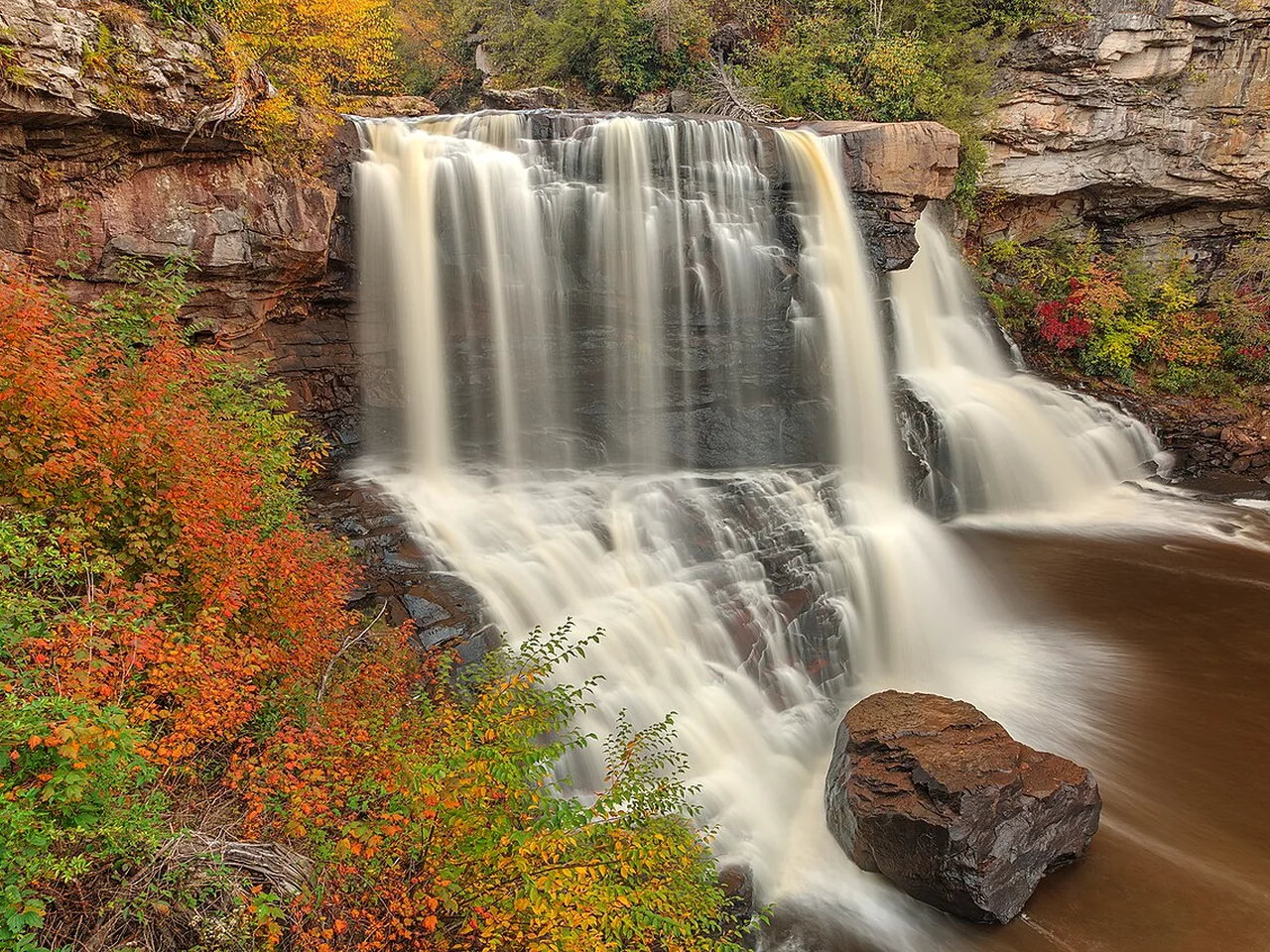
Blackwater Falls framed by orange and gold leaves

Nicolas Raymond from Bethesda, Maryland, USACC BY 2.0Resized; display crop

West Virginia · Appalachians

Blackwater Falls State Park

Amber water surrounded by mountain color.

2026 projected peak · Weekend Wild estimate

Oct 5–20

Low confidence · 2026 regional report + usual season

West Virginia’s Sept 30 update identified early color around Blackwater Falls and other highland destinations. Our broad early-to-mid-October estimate needs a newer local report before you commit to a long drive.

Assessed October 7, 2026. Usual season: Late September–mid October. Highland planning estimate; follow West Virginia reports for the Tucker County area.

Your family route

Gentle Trail: about 0.5 mile round trip

Choose the paved quarter-mile Gentle Trail each way to an overlook. The main falls boardwalk has roughly 200 steps and is a different outing.

Access
Paved Gentle Trail
Allow
1–2 hours
Budget check
Free state-park entry

The parent planning detail

Navigate to the Gentle Trail access rather than assuming the main boardwalk is accessible. Highland weather can be cooler than your starting point.

Bathrooms, snacks & a doable day

Bathrooms & food

Plan bathrooms and food at an open developed park facility before the trail; bring a snack for your return.

Give them a mission

Listen for the waterfall before it comes into view. Compare evergreen needles with colorful leaves.

If the day changes

Keep the paved overlook as the minimum plan. In dense fog or heavy rain, retreat to your accommodation and try later.

Make it a trip

Best as a two-night Davis-area getaway from the DMV, with a waterfall morning and time to rest after the drive.

Fall color reflected in Price Lake on the Blue Ridge Parkway

miketnortonCC BY 2.0Resized; display crop

North Carolina · Appalachians

Price Lake

Mountain colors reflected in still water.

2026 projected peak · Weekend Wild estimate

Oct 10–25

Low confidence · 2026 nearby report

Blowing Rock’s Oct 6 update found developing color against a largely green backdrop and pointed to good viewing over the next two weeks. This is nearby evidence for Price Lake, not a lake-specific observation.

Assessed October 7, 2026. Usual season: October, often mid-month. Elevation-based Parkway estimate; color varies along the road.

Your family route

TRACK Trail: up to 2 miles out and back

The designated family route starts at the boat dock and goes about 1 mile to the beaver-dam overlook, then returns. Turn back earlier for young walkers; the full lake loop is about 2.7 miles.

Access
Roots and footbridges; no stroller promise
Allow
1–3 hours
Budget check
No Blue Ridge Parkway entrance fee

The parent planning detail

Julian Price Memorial Park, near milepost 297. Check Parkway closures first; do not rely on a through-drive itinerary without verifying open road sections.

Bathrooms, snacks & a doable day

Bathrooms & food

Pack a picnic and water. Restrooms and boat rentals are seasonal; verify what is open before relying on them.

Give them a mission

Look for signs of beavers without expecting a sighting. The shoreline view can be the reward even on a very short walk.

If the day changes

A lakeside viewing stop works when the full route feels too long. Postpone during storms or road closures.

Make it a trip

Base around Blowing Rock for two nights; one lakeside outing plus a short scenic drive is a comfortable pace.

An autumn road through the Great Smoky Mountains

Jordan Whitt jwwhittCC0Resized; display crop

Tennessee & North Carolina · Appalachians

Great Smoky Mountains

Layered mountain color and a tiny paved loop.

2026 projected peak · Weekend Wild estimate

Oct 15–Nov 5

Low confidence · Usual-season estimate

NPS places the strongest low- and middle-elevation color between mid-October and early November. This estimate is for the Sugarlands Valley outing; high mountain overlooks change earlier. No current-season field report is used here.

Assessed October 7, 2026. Usual season: Mid October–early November. Lower and middle elevations peak later; areas above 4,000 feet usually change earlier.

Your family route

Sugarlands Valley Nature Trail: 0.5-mile loop

This paved accessible loop is a separate trailhead on Newfound Gap Road near Sugarlands Visitor Center, not a walk beginning at the visitor-center door.

Access
Paved accessible loop
Allow
1–2 hours
Budget check
$5 daily or $15 weekly parking tag for stops over 15 minutes

The parent planning detail

Display the physical parking tag. It does not reserve a space, and an annual national-parks pass does not replace it. Check Newfound Gap Road conditions before adding a drive.

Bathrooms, snacks & a doable day

Bathrooms & food

Use Sugarlands Visitor Center restrooms during open hours; pack a picnic and drinking water.

Give them a mission

Look for old chimney remains and impressions in the trail surface. Make the loop the achievement, with any drive a bonus.

If the day changes

Skip the higher road if weather turns. A visitor-center stop is a useful reset when open, followed by a shorter outdoor plan.

Make it a trip

A three-night Gatlinburg or Townsend base leaves time for slow roads, short walks and downtime. Avoid stacking cross-park drives.

Autumn color in Cuyahoga Valley National Park

Wikiphotoman777CC BY-SA 4.0Resized; display crop

Ohio · Great Lakes

Cuyahoga Valley National Park

A waterfall reveal beneath colorful woods.

2026 projected peak · Weekend Wild estimate

Oct 15–25

Low confidence · Usual-season estimate

NPS says park color commonly peaks in the third week of October and recommends Brandywine Falls around mid-October. This is a seasonal planning estimate; no 2026 observation is used to narrow it.

Assessed October 7, 2026. Usual season: Mid–late October. NPS identifies October as the main window, typically strongest around the third week.

Your family route

Brandywine Falls: upper boardwalk

The accessible upper boardwalk is the short option. The lower viewing area requires about 80 steps; the 1.4-mile Gorge Trail is a separate unpaved loop.

Access
Accessible upper boardwalk
Allow
45–90 minutes
Budget check
Free park entry

The parent planning detail

Use the Brandywine Falls trailhead; parking is limited. Arrive early, and do not park on the road when the lot is full.

Bathrooms, snacks & a doable day

Bathrooms & food

Trailhead restrooms and picnic tables; bring lunch or stop outside the park afterward.

Give them a mission

Watch how the water changes sound as you approach. Younger children can enjoy the upper view without tackling the stairs.

If the day changes

Keep the upper boardwalk as the complete visit. Wet leaves and ice can make even a short walk slippery.

Make it a trip

A half-day from the Cleveland–Akron area or a two-night base with another gentle park outing.

Autumn shoreline seen from Peninsula State Park

Yinan ChenCC BY 3.0Resized; display crop

Wisconsin · Great Lakes

Peninsula State Park

An accessible ramp into the autumn canopy.

2026 projected peak · Weekend Wild estimate

Mid-October · third week

Moderate confidence · 2026 county forecast

Wisconsin’s Oct 7 Door County report recorded 80% color and forecast peak in the third week of October. Use that week as your target, with a fresh check for Peninsula State Park before leaving.

Assessed October 7, 2026. Usual season: Early–mid October. Regional estimate; use the Wisconsin color report for current Door County conditions.

Your family route

Eagle Tower: 850-foot ramp each way

Take the accessible canopy ramp rather than the stairs. The ramp journey is about 0.32 mile round trip, plus the walk from parking.

Access
Accessible canopy ramp
Allow
1–2 hours
Budget check
Vehicle admission pass required; check current rates

The parent planning detail

Check tower status before traveling. Its usual operating season is May 1–October 31; wind, weather and maintenance can affect access.

Bathrooms, snacks & a doable day

Bathrooms & food

Pair with an open park picnic area. Nicolet Beach has accessible recreation facilities; check seasonal restroom availability.

Give them a mission

Let children notice how the forest looks different as the ramp rises. Pause at a landing rather than rushing to the top.

If the day changes

If the tower is closed, choose a short safe park viewing stop; do not substitute the rocky Eagle Trail for the ramp.

Make it a trip

Two or three nights in Door County gives the weather room to change. Use Fish Creek or Ephraim as a nearby base.

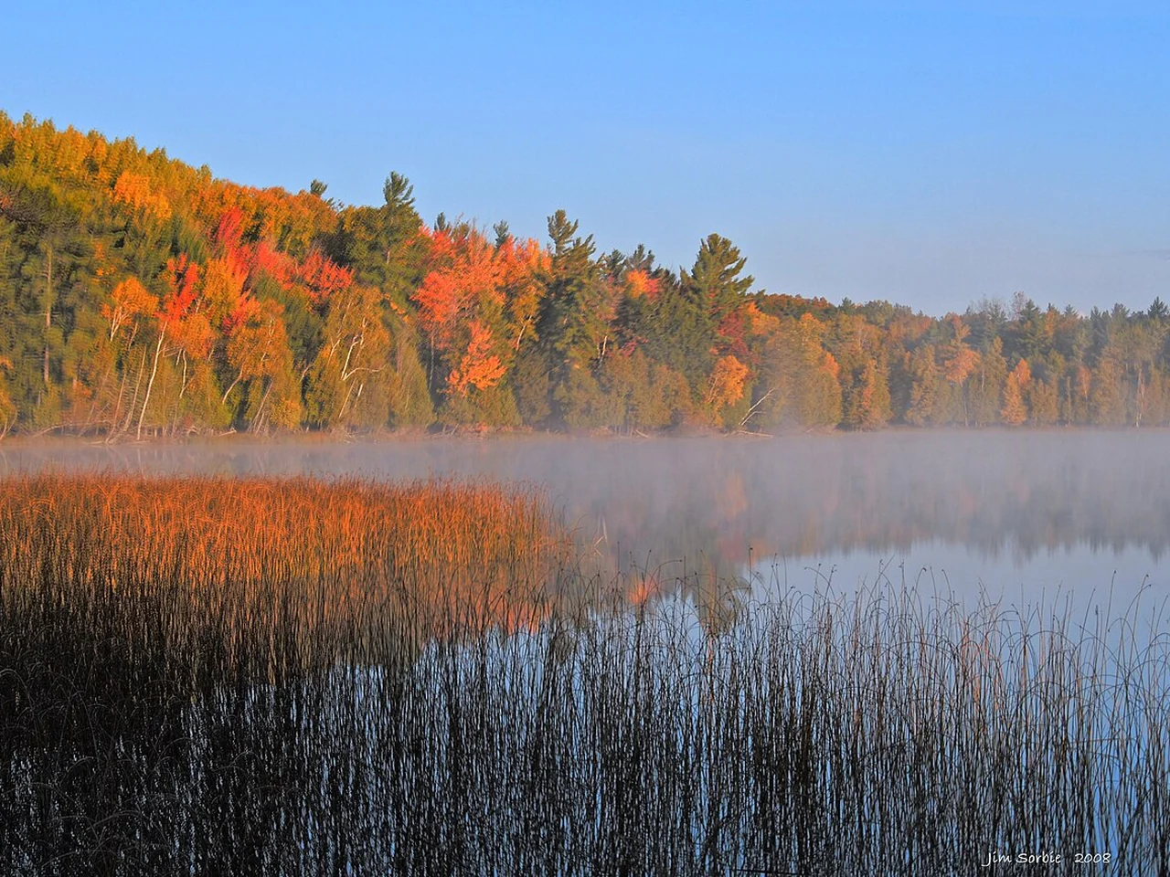
Otter Lake at dawn, Sleeping Bear Dunes National Lakeshore

Jim SorbieCC BY 2.0Resized; display crop

Michigan · Great Lakes

Sleeping Bear Dunes

Fall color from a scenic drive, with stops on your terms.

2026 projected peak · Weekend Wild estimate

Oct 10–20

Moderate confidence · 2026 park forecast

The park’s Oct 6 update said color was starting and projected a likely mid-October peak. Our date range translates that broad park forecast into a planning window for the scenic drive.

Assessed October 7, 2026. Usual season: Mid October. Typical mid-October target; check current National Lakeshore conditions.

Your family route

Pierce Stocking Scenic Drive: 7.4 miles

Drive the one-way loop and choose a few signed stops. North Bar Lake Overlook, stop 11, is a fall-color option; this is a drive with short walks, not a paved walking loop.

Access
Drive + short stops
Allow
1–2 hours
Budget check
$25 per vehicle for 7 days

The parent planning detail

Check the drive’s seasonal status; it generally operates late May to late October. Trailers are not allowed. Take breaks only at designated stops.

Bathrooms, snacks & a doable day

Bathrooms & food

Vault toilets at the entrance area; carry picnic supplies. Facilities along the drive are limited.

Give them a mission

Give children a lookout checklist: lake, dune, red tree, yellow tree. Stay on designated paths instead of descending steep dune faces.

If the day changes

Use fewer stops when energy drops; remain in the car if weather makes walking unpleasant. Turn the trip into a nearby-town lunch if the road is closed.

Make it a trip

A two-night Glen Arbor-area trip works well; keep one unhurried drive as the anchor rather than expecting a dune climb too.

Golden aspens in Rocky Mountain National Park

Anne DirkseCC BY-SA 4.0Resized; display crop

Colorado · West & Texas

Rocky Mountain National Park

Gold aspens and mountain reflections.

2026 projected peak · Weekend Wild estimate

September–early October

Low confidence · Usual-season estimate

This usual window was nearing its end at our Oct 7 review. NPS highlights September aspens but provides no exact peak date in its fall-trip guidance. Confirm remaining color and road conditions before a foliage-focused trip.

Assessed October 7, 2026. Usual season: September; sometimes early October. Aspen planning estimate; September is the safer target than a fixed October date.

Your family route

Bear Lake Road + Sprague Lake: 0.8-mile loop

Use the road for aspen views, then the accessible Sprague Lake loop for a gentle walk. The lake is around 8,700 feet above sea level; slow down and allow adjustment time.

Access
Accessible loop; high elevation
Allow
2–3 hours
Budget check
$30 per vehicle for 1 day / $35 for 7 days, plus timed-entry charge. Non-U.S. residents age 16+ also pay $100 each unless covered by an eligible pass.

The parent planning detail

In 2026, Timed Entry + Bear Lake Road applies May 22–October 18, 5 a.m.–6 p.m. Choose the corridor-specific permit; a general timed-entry permit is not enough for this road.

Bathrooms, snacks & a doable day

Bathrooms & food

Sprague Lake has picnic facilities and year-round vault toilets; flush facilities are seasonal. Bring all food and water.

Give them a mission

Spot yellow aspens on the drive, then look for reflections at the lake. Leave elk and other wildlife undisturbed.

If the day changes

Snow or ice can change trail usability. Shorten the visit, avoid high roads in poor weather, and stop if anyone feels unwell at altitude.

Make it a trip

Stay in Estes Park for two or three nights and start gently; a scenic drive and one small loop can fill the mountain day.

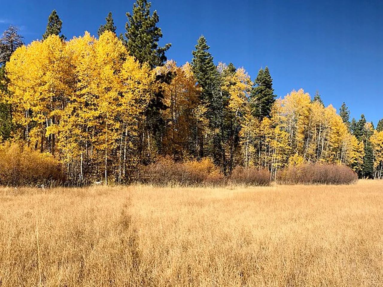
Autumn meadow in South Lake Tahoe

Jonathan Cook-FisherCC BY 2.0Resized; display crop

California · West & Texas

South Lake Tahoe

Golden aspens beside a gentle creek walk.

2026 projected peak · Weekend Wild estimate

Oct 1–20

Low confidence · Usual-season estimate

The Lake Tahoe Visitors Authority recommends early to mid-October for the Rainbow Trail. Our broad window follows that seasonal guidance; it is not a verified 2026 Taylor Creek peak forecast.

Assessed October 7, 2026. Usual season: Early–mid October. Local early–mid October foliage target; the salmon run may be later.

Your family route

Rainbow Trail: about 0.5–0.6-mile loop

An accessible loop by Taylor Creek near South Lake Tahoe. Aspen color and the kokanee salmon run can happen at different times; neither is guaranteed on your day.

Access
Accessible short loop
Allow
1–2 hours
Budget check
Check current facility access and any parking requirements

The parent planning detail

In 2026, the Stream Profile Chamber is listed Thursday–Sunday through October 25. Trails may remain available after facility closures; the vehicle gate typically closes around mid-November.

Bathrooms, snacks & a doable day

Bathrooms & food

Use visitor-area facilities when open; check closure dates. Bring your own snack and water.

Give them a mission

Look for gold leaves, then see whether fish are visible. Enjoy the creek even if the salmon have not arrived.

If the day changes

Do a shorter section if needed. Avoid promising an indoor chamber visit outside its operating schedule.

Make it a trip

A two-night South Lake Tahoe stay with one trail morning and a lake-view stop leaves room for cold or wet weather.

A canopy of fall color in Lost Maples State Natural Area

Wing-Chi PoonCC BY-SA 2.5Resized; display crop

Texas · West & Texas

Lost Maples State Natural Area

Bigtooth maples in a limestone canyon.

2026 projected peak · Weekend Wild estimate

November · too early to narrow

Low confidence · Historical report only

The park’s report page still showed the 2025 season at our Oct 7 check. Keep November as a tentative target and wait for a dated 2026 report before choosing a peak-color week. Reserve entry separately; a reservation does not guarantee color.

Assessed October 7, 2026. Usual season: November. Historical November target; verify the date on the foliage report—an older report is not a current forecast.

Your family route

Maple Trail: 0.4-mile marked segment

The official map labels the Maple Trail segment as 0.4 mile. Your full walk depends on access and return route; it is not automatically a 0.4-mile loop.

Access
Natural surface; carrier or walkers
Allow
1–3 hours
Budget check
$6 ages 13+; children 12 and under free

The parent planning detail

Reserve day passes ahead, especially on fall weekends; capacity is limited. Download the trail map and confirmation because cell service is unavailable.

Bathrooms, snacks & a doable day

Bathrooms & food

Accessible picnic and restroom facilities are in developed areas; bring water and all food.

Give them a mission

Compare maple leaves with oak leaves. Choose a turnaround before tired legs rather than aiming for a longer canyon circuit.

If the day changes

If day passes are unavailable, pick another outing before driving. Wet or rough trails call for a shorter visit or postponement.

Make it a trip

A two-night Hill Country base makes an early arrival easier; do not build the whole trip around one unconfirmed peak day.

A little planning goes a long way

Make the day about more than the leaves.

One short walk, one picnic, one small mission. Ask the kids to find a red leaf, a yellow leaf and a tree that stayed green. The best memory may be the bridge, the waterfall or the snack stop.

  • Before you book: check entrance passes, timed entry, seasonal roads and the latest dated color report.
  • Before you leave: download directions and confirmations; pack layers, rain gear, water and a real snack.
  • At the trailhead: use the bathroom, choose a turnaround and leave energy for the return.
  • When plans change: shorten the outing or postpone. Slick boardwalks, mountain fog and closed roads matter more than a forecasted peak.

Keep planning your kind of weekend

How we chose: scenery worth traveling for, an achievable family version, and a planning tradeoff made explicit. Each plan links to official logistics and supporting research. Costs are standard published starting points checked October 6, 2026; residency, pass eligibility and reservation charges can affect your total. Trail times and suggested trip lengths are editorial allowances. Photos show the captioned view, which may differ from the featured family route.

Keep exploring

More for your next plan.

Guides, destinations and activities worth a family weekend.

Browse all family guides